• Logbook
• Road Stars
Photo album:
• Los Glaciares NP
Download Los Glaciares NP files:
• GPS track & waypoints
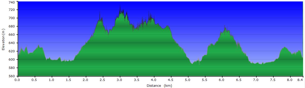
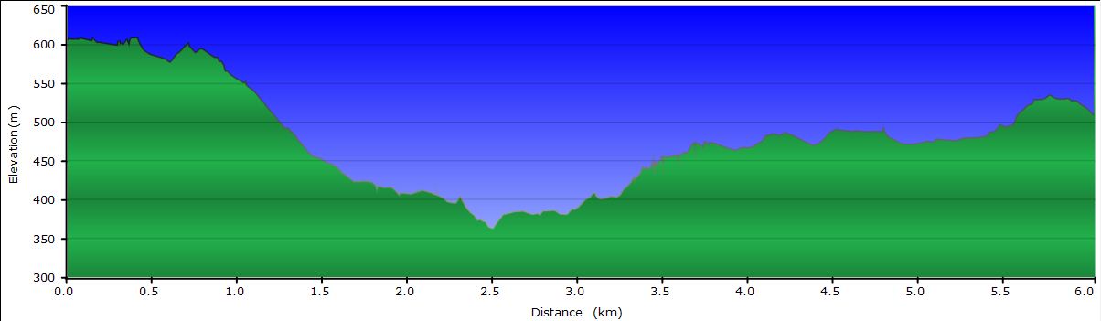
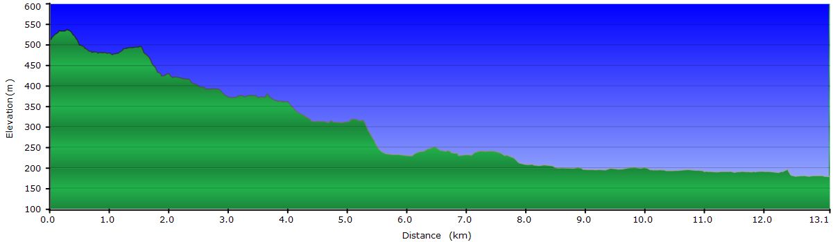
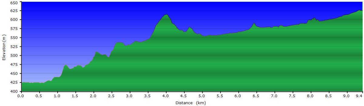
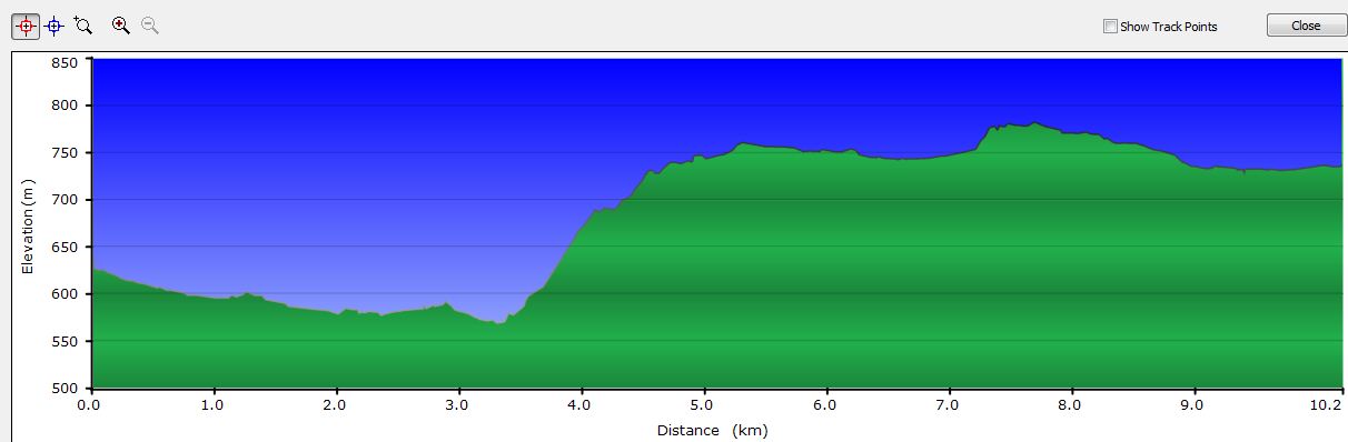
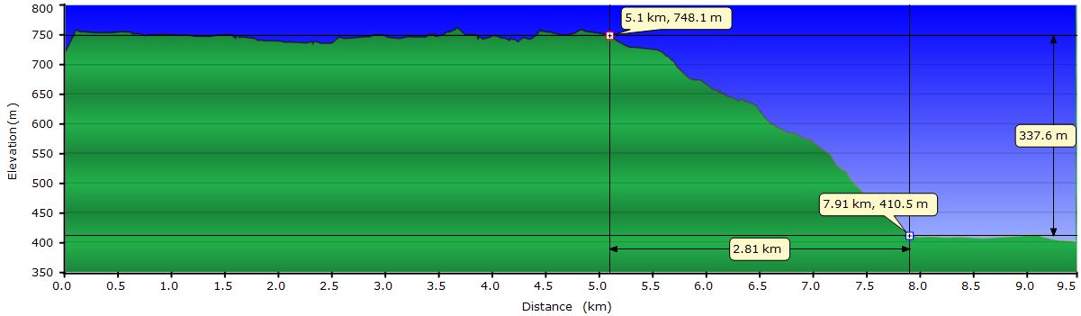
• Profile March 2
• Profile March 3
• Profile March 4 (lookout)
• Profile March 4
• Profile March 5 (lookout)
• Profile March 5
• Profile March 15
• Profile March 15 (lookout)
• Profile March 17
• Profile March 17 (lookout)
• Profile March 18
• Profile March 20
Lodging and eating:
• Calafate Hostel
• Cóndor de los Andes Hostel
• Rick´s Parrilla Restaurant (El Calafate)
• Viva la Pepa Creppes
• Restaurante La Usina (El Calafate)
• La Tapera Restaurant (El Chaltén)
• Restaurante Bodegón (El Chaltén)
• Bakery Lo de Haydeé (El Chaltén)


.JPG)
In this stage of the journey, we want to explore Los Glaciares National Park a little more in depth than the usual tourist. In the southern part of the Park (based on El Calafate), on top of visiting the Perito Moreno glacier, we want to get closer to the Upsala glacier and the southern ice field. To do that we will go by ferry to the Estancia Cristina and from there access the Upsala and Pascale refuges, owned by the National Institute of the Continental Patagonian Ice. In the northern part of the Park (based on El Chaltén), in addition to walk to the Cerro Torre and Fitz Roy viewpoints, we will hike up the Río Eléctrico to have a view of the Fitz Roy North face and perhaps of the Paso Marconi, access point to the ice field. Finally we will leave the Park crossing the Lago del desierto towards the North through the immediate Chile border. A ferry will take us across the O'Higgins Lake to Villa O'Higgins, end (or start, depending on your travel direction) of the Carretera Austral.
Stage index:
February 28th: From El Calafate to Lake Roca
March 1st: From Lake Roca to Punta Banderas Harbor
March 2nd: From Punta Banderas harbor to the Pascale refuge
March 3rd: From the Pascale refuge to the Laguna Azul
March 4th: From the Pascale refuge to the Upsala refuge
March 5th: From the refuge Upsala Puerto Punta Banderas
March 6th: From Puerto Punta Banderas to El Calafate (via Perito Moreno glacier)
March 10th: From El Calafate to Pueto La Irene
March 11th: From Puesto La Irene to Estancia Margarita
March 12th: From Estancia Margarita to El Chaltén
March 15th: From El Chaltén to the De Agostini camp
March 16th: De Agostini camp
March 17th: From camp Agostini to camp Poincenot
March 18th: From the Poincenot camp to El Chaltén
March 20th: Loma del Pliegue Tumbado lookout
February 28th, 2011: From El Calafate to Lake Roca
Loaded with food for several days we set off from El Calafate by route 15 towards the Lake Roca. It´s a dirt road, much less travelled than the asphalt one that leads to the Perito Moreno glacier and much more pleasant to ride on a windless sunny day like today. This area is surprisingly dry, compared to the Torres del Paine. The vegetation is reduced to low shrubs and dry plants. The only trees we can see are the poplars planted in the areas around the houses to protect them from the wind. Only when we are approaching the Lake Roca we find some lengas, precisely in the campground where we spend the night.
The water level of Lake Roca depends on the state of the Perito Moreno glacier and it's related to one of the reasons that make this a world-famous glacier. The glacier spills its ice into the Lago Argentino, the largest in the country. This lake has a very irregular shape, with a main body and several lobes connected to it through channels. The lake flows out through the Santa Cruz River at the eastern end of the main body. When the Perito Moreno glacier, formed in the Southern Patagonian Ice Field, reaches the West shore of lago Argentino, it keeps advancing and the ice crosses one of those channels until it gets to the other shore of the lake, forming a dam and separating the main body from the Rico arm and the South arm. The ice dam prevents the water from these arms flow towards the main body of the lake. As a result, the level of water in these arms goes up respect to the main body, because it has no possible drainage. After a few years, the difference in levels on both sides of the ice dam is such that the pressure breaks the ice dam and produces the spectacular break-up of the glacier. Another consequence, much less exciting, is that as the level of the Rico arm goes up, the level of the Lake Roca (which outflows to the Rico arm) also rises and its size increases, flooding the plains that surround it. Currently, the dam is destroyed, so the water from the arms to the main body has no obstacle and, therefore, the Lake Roca is at its lowest. This condition is used by aquatic birds like swans and flamingos to feed on the beaches that are usually covered by water.

March 1st, 2011: From Lake Roca to Punta Banderas Harbor
Our intention today was to visit the glacier and finish the day in the Punta Banderas harbor where tomorrow we take the ferry to the Estancia Cristina, located on the Cristina arm of the Lake Argentino. However, it´s raining and we know that the glacier will not be sunny, losing much of its appeal. We change our plans and we go directly to the harbor. One of the reasons that makes us take this decision is the fact that each time you enter the Park, you have to pay the entry fee and is not cheap. We hope for a clear day when we return from the Estancia Cristina so we can see the Perito Moreno in its entire splendor. Of course, riding towards Punta Banderas, we have head-wind. After 15 miles of dirt road we reach the pavement and after a few more kilometers the temptation appears in front of us in the form of a road sign: La Usina "Countryside Restaurant". The lure is too strong and we are weak. At the restaurant they care for us wonderfully, with abundant portions of delicious patagonian lamb and other delicacies. With a full belly, it seems that the wind is less noticeable.
At the ranger station of Punta Banderas we meet Carlos, the ranger. As usual among the people we've met so far, he treats us with great hospitality, offering all kinds of facilities for the night. He advises us on some areas to tour around the Estancia Cristina. Among other things, he tells us that a couple of years ago a giant block of ice, about 1.25 miles in width, broke from the Upsala glacier. The vast amount of icebergs that it generated flooded the Upsala arm, creating a barrier of icebergs that today prevents the navigation into the arm. Previously, the ship that takes you to the Estancia Cristina included in its tour a visit to the front of the Upsala glacier. Currently, the visit is limited to the iceberg barrier. Carlos asks us to take a picture of the state of the arm, if we have the opportunity to get to a vantage point from where to devise the sea of icebergs. Unfortunately, the lookouts from which this perspective would be possible are too far from our hikes. We can still offer him the GPS track of the route of the ferry and, therefore, the position of the barrier of icebergs today.
March 2nd, 2011: From Punta Banderas harbor to the Pascale refuge
The price we have to pay for the transport to the Estancia Cristina is abusive. In fact, our fee is the same as the package that includes a 4x4 ride and a guided hike through the Fossils Canyon. Even knowing it, we accept the cost because we believe that the views we will have from the surroundings of the refuges Pascale and Upsala will be great. Visiting this area of the park on your own requires a permit which we have previously obtained at the park administration in El Calafate. There, Fernando gave us information of the area and pointed out several errors on the map we have.
 The boat trip gets interesting as it approaches the barrier of icebergs. They become so abundant and massive that the captain has to maneuver to avoid them. As the day is cloudy, you can only see the capricious forms of the floating ice, but not the shades of blue or the sparkles of reflecting sun. The barrier is actually impassable. The enormous blocks of ice, some much larger than our boat, are one next to the other without leaving virtually space between them. When we get really close, we can see cracks, fissures, arches and all kinds of shapes carved out on them.

 When we arrive at the estancia harbor, we decide to use the 4x4 that takes the other tourists to the viewpoint of the Upsala glacier, as it turns out that it is next to the Upsala refuge. This is the starting point of the hike to the Pascale refuge, our destination for today. The view from the Upsala lookout is 360 degrees wide, but the glacier is far away, as well as the Patagonian Ice Field. At the bottom of the valley is the Lake Guillermo, with the glacial blue that we are already used to, but nonetheless still amazes us. In reality, the front of the glacier we see from here is not the one that dislodged the monstrous iceberg that blocked the Upsala arm. There is another section of the glacier hidden by a crest of peaks on the other side of Lake Guillermo. Further to the West, on the other side of that second section, a range of peaks marks the East limit of the ice field. Among them, other minor tributary glaciers of the Upsala make their way through.

We start hiking along with the organized group that goes to the Fossils Canyon. Ten minutes after, we separate from the group and bear left towards the trail that will take us to the Pascale refuge. Here begins a sequence of rock formations which would be a paradise for any geologist. The first thing that stands out is the belemnites fossils encrusted in a very smooth dark rock, probably polished by a now inexistent glacier. This mollusk from the Jurassic and Cretaceous is the ancestor of the current squid. His body has conical shape, up to 4 inches long and 1/4 in diameter. The white color of the fossils splatters the dark grey of the rock. On this same smooth rock we see red and orange stains sprouting from different holes. In some of these holes there are still fragments of pyrite that generates the oxidation seen in the stains. In addition, the rock is traversed of grooves, parallel to each other and different in depth, all of them in the direction of the maximum slope. They could be produced by stones dragged by the ancient glacier erosion effect.
 After this first feature, we enter into a spectacular area due to the chromatic richness of the strata. An orange layer of probably some iron oxide-rich mineral stands out between two layers of black slate. Later, the blocks of rock on the trail have multitude of layers of various tones: from brown to ochre to purple. After that, the vertical wall of a cliff shows a pile of sediments that span the entire range of browns folded onto themselves in an impossible way. The snow-covered peaks on the other side and the intense blue skies provide postcard images.
We keep hiking towards the Pascale refuge discovering all sorts of curiosities: giant slabs traversed by cracks totally straight, forming a grid, perpendicular sometimes, oblique in other cases; small stones with an absurd variety of colors that we collect in our pockets; fragile shattered slate islands, by which we tread gently to avoid fragmenting them further. The trail continues surprising us without a break until we reach the grand finale: the Laguna Pascale. To the left it's bounded by the wall of the mountain range that separates us from the Upsala glacier. To the right is the only flat area of considerable size on the entire route, precisely where the shelter is located. The water of the lake is incredibly crystaline and the golden sand of the beach on the North shore seems more typical from the Caribbean than from the Ice Field. However, the peculiarity of this lake is the color of its waters. When it is illuminated by the sun, the gradation of blues run from a turquoise blue on the shores to an electric blue in the deepest part, even violet. As we will later know, this phenomenon is due to the rocks that cover its bottom, with high content of iron and magnesium, such as the ones we've been seeing along the way. These rocks have shades of brown, red and purple. When the sun light bounces back from the bottom, such wide gamut of blues is reflected. It even seems that on days without wind, when the surface is calm, the water looks purple.

 The Pascale refuge is very basic: a wooden structure covered with sheet metal with a tiny window, a few bunk beds from wall to wall, a small table and a small bench. Outside, the corners of the roof are anchored to large rocks with thick well tensioned metal wires. However, it feels like an oasis when we get inside, away of the maddening wind.

In the afternoon, exploring the surroundings of the refuge, we get to a cliff where we appreciate, from the height, a river snaking down the valley and the snow-capped peaks of the opposite side. We sit on the ground to avoid the continuous fight against the wind gusts. We must look like carrion because a pair of condors performs all kinds of tricks in the air to get close to us almost in an intimidating way. They fly over us at less than 45 feet, distance short enough to observe their white collars around their neck and the skin hanging from their head. Judit yells at them that we are still alive, but they are not convinced until we abandon our viewpoint.
The only other inhabitant of the refuge is a small mouse that darts in and out through a gap between the metal sheet and the ground. The wind continues to increase its fury and by the time we get into the sleeping bag, we feel like the first pig of The Three Little Pigs fairy tale.
March 3rd, 2011: From the Pascale refuge to the Laguna Azul

The sky is covered with grey clouds when we start moving towards the Laguna Azul (Blue Lagoon). The trail marked by stone cairns runs along the shore of the Lake Pascale up to its North beach. There, it climbs through a rocky canyon which takes us back to the Jurassic. The rocks here have multiple ranges of colors, they almost seem a setting from a film. In addition to the gradation from the ochre to the purple, they have a few green spots similar to copper oxide and other grey splashes. The narrow ravine forks several times and at some point, we lose the marks. Anyway, we already have the Laguna Azul in sight and we explore the area on our own. We try to climb a number of hills that surround us, but a mountain range still blocks us the view of much of the Upsala glacier. Even so we have an extensive view of the Ice Field, but in black and white, due to the lack of sun. I will not elaborate on the description of the vista, because tomorrow we will repeat this hike with a clear day like few in Patagonia.

 In one of the viewpoints, a hungry condor checks us out again. Today we can also recreate on all the details of its anatomy, like the separated ends of its main feathers or its sharp claws. It seems incredible that they can fly in the midst of this gale. When following the wind, in an instant, it flies out from above us to the vertical wall on the other side of the lagoon. What I do not understand is how at the next instant it's back on top of us.
Back to the refuge we try other routes to cross the range that separates us from the glacier, but it is actually a succession of steep ridges, so we give up. In the afternoon we go back to the darkness of the refuge. While the metal sheets bang repeatedly, we see through the door the turbulence that the wind gusts create on the surface of the lagoon in front.

March 4th, 2011: From the Pascale refuge to the Upsala refuge


Today we move quickly through the same trail we hiked yesterday to the Laguna Azul, but this time without losing the track. The cairns lead us to a promontory higher than the one we were yesterday. The sky is totally clear, not a single cloud, and from here we can see several tributary glaciers of the Upsala: Bertacchi, Cono, Murallón and others unnamed. To the North, many miles away we can perfectly see a fully snow-covered mountain range in the middle of the Ice Field. Everything we see in that direction is covered by ice or snow. And this is only the border of the vast extension of the Southern Patagonian Ice Field. The view is difficult to describe. To feel it you need to be there, absorbing the view, slightly closing your eyes to avoid the wind blowing away the tears.


We return to the Upsala refuge along the same trail we used yesterday, but with this perfectly sunny day, the colors we already enjoyed, stand out even more. After leaving the bags in the refuge, we make a timid approach to the tip of the Uppsala that discharge into Lake Guillermo. Again the territory seems to be from another planet or maybe in this, but in another time. We follow a faintly marked trail which we name as the Pyrite Way. Every few steps we find a pyrite stone, shining among the crushed slate. The path follows the line that separates the slate layer from another reddish layer. At a certain point there are some blurred footprints we cannot identify. They seem too large to be of a guanaco, but we don't want them to be of a mountain lion, so we resolve that have to be from a baby Tyrannosaurus Rex. The viewpoint we reach is still far from the front of the glacier, so we turn back to the refuge.

March 5th, 2011: From the refuge Upsala Puerto Punta Banderas
In theory, yesterday we should have returned to Punta Banderas on the ferry, but we still want to explore an area of this section of the park. Our food reserves are running low so after a frugal breakfast, we leave the solar panel charging behind the shelter and go hiking.


The day is clear again, even the wind is calm! The lake in front of the shelter looks like a mirror. Our goal today is to reach a point from where we can see the sea of icebergs that keeps the Upsala arm locked to navigation. From the refuge we climb to the lookout on the Lake Guillermo and flank in the Southwest direction. We are moving slowly along a guanaco trail, dodging screes. Soon we realize that we cannot reach the peak we hoped. The ferry that takes us back to Punta Banderas leaves from the estancia at 5 PM and the trail to get there goes through the Cañadón de los Fósiles, whom we want to devote sufficient time. Anyway, the viewpoint we reach faces the glacier tip and provides better views than anywhere we have been so far.

When we ascend the slope that leads us back to the tourist viewpoint, the first organized group has already arrived. They seem surprised to see two humans appearing from the underworld below the lookout. Anyway, they pay us little attention, since they are too amazed with the magnificent views of the glacier.

We collect our backpacks at the refuge and we star hiking towards the Fossils Canyon. There we join the organized group of the estancia, but as the guide explanations are not too informative and their progress is slow, we decide to move forward on our own, taking advantage of a lunch stop. The hike through the Canyon is spectacular, and in the eyes of the group that follows us, magnificent. However, they have not seen the formations and colors on the way towards the refuge Pascale. After about 2 miles, the Canyon opens up to a wide plain where the Catarina River flows to the Estancia Cristina. The 7 remaining miles lack any interest; on top of that we just have no food, not even a small energy bar. The hike is endless. The estancia is in sight from miles away, but it's approaching very slowly. When we get there we jump on the cakes counter from the restaurant and we sit down to devour a couple of them. The waiter must have noticed we're hungry since he gives us a handful of muffins remaining from the tourist's picnic bags.


The return on the ferry offers sightings of the same icebergs that some days ago we saw with no sun, but the captain sails at full speed to recover the time lost due to the slow pace of the Canyon hiking group. When passing through the Lake´s Mouth of the Devil, the narrowest area of Lake Argentino, the wind lifts a considerable swell. For a reason we do not know, the captain turns towards the port too soon causing the bow lift splashes of a few feet which the wind launches against the side of the ship with fury. Tourists take their video cameras to record how the water crashes violently into the windows. Perhaps it is a way to wash this side of the ship or raise a notch the excitation of their clients.
Arriving at the Punta Banderas harbor we get our bikes, but it is too late to start pedaling, so we sleep again at the harbor.
March 6th, 2011: From Puerto Punta Banderas to El Calafate (via Perito Moreno glacier)

For today we have set ourselves a challenge to beat the maximum distance we have covered on a single day so far. To make the goal more achievable we will leave the panniers at the entrance of the park and will ride 19 mi out to the glacier and the 19 back without the weight of our panniers. On the way out, as we go around the Magellan peninsula, wind intensifies, but at each curve the impressive Perito Moreno glacier becomes more visible. Although the road is paved, these 19 mi are increasingly hard. We finally arrive at the viewpoint next to the cafeteria. After the not-so-tasty experience with the rice we ate yesterday night, the idea of a 4 cheeses rice breakfast (the only meal we had this morning) was not very tempting, so we haven't eaten anything yet. The 10 minutes it takes to the snacks to be brought from the kitchen seem hours. The ham and cheese sandwich, chocolate cake and dulce de leche serve to appease the hunger. Just in case, we'll take a couple of cakes for the way back.
 The walk along the boardwalks of the Perito Moreno viewpoint is something that can not disappoint anyone. Seeing this immense mass of ice 180 feet in height, 3 mi wide and 20 mi in length at only ¼ mi of distance makes us remember how tiny we are compared to the nature events. And this mass moves at 6 feet per day in the central part. The truth is that, with such a big wall ahead, it becomes difficult to spot the chucks of ice falling. Fortunately, all spectators are watching and it becomes a teamwork in a natural way. The first to see a detachment, points with his finger and shouts. The rest just follow the prompts. Sometimes, no one see anything and we only hear the roar of the block crashing into the water. By the time the noise reaches the boardwalks, enough seconds have passed to have missed the most spectacular part of the splash. Some of the cracks in the wall of ice are so deep that it seems incredible that the cusps among them hold. We keeps forgetting that the ice is as hard as rock. It is fun to hear people betting on which of them will fall first. It is always another piece that no one is monitoring. Of course, the largest blocks always fall when you're gone tired of waiting. You hear the thunder from a gateway in the interior of the forest. According to our observations, passengers of vessels approaching the front are more likely to see them falling. For some reason in that area, or at that time of the day, the largest blocks fall more frequently. Maybe it's that they pay more.
 On our way back to the park entrance, where we will collect the panniers, we have tail wind and it takes us almost half the time it took us to ride on the other direction. However, the traffic is horrible, not for the quantity but for the little respect for cyclists. Although we are riding at 20 mi/h on average (sometimes even beyond the traffic sign limitations), they pass us in curves without visibility and without leaving enough space... When we get tired of it, we take the determination of pedaling in the center of the lane during the portions of the road that we consider are unsafe for passing us. At the arrival to the park entrance, we have already ridden 47 mi and we are still around 30 more miles away from El Calafate, so we need a sufficiently good incentive to continue cycling. An all-you-can-eat barbecue buffet seems to be a great reward, so set off. Most of the route is eastwards, i.e. downwind, but for some strange reason, today only blows a slight breeze. Even so, we get an average of 16 mi/h. We arrive to the hostel, take a quick shower and go for the barbecue. The recommendation my hairdresser from El Calafate made us a few days ago is far better than the haircut. In the Rick´s restaurant we feast on lamb, beef and sausage. The best, no doubt, is the paleta de cordero, although the ribs are also great. We finish the night with a traditional gelato and a long walk along the main avenue to help our tormented stomach digest everything.
March 10th, 2011: From El Calafate to Pueto La Irene
After a couple of days of planning, calls and bureaucracies, yesterday we decided to take the bikes and leave towards El Chaltén. When we were riding out of El Calafate, it begins to rain. It took us too long to put the Gore-Tex and rain pants on. By the time we had them on, the lateral wind soaked us. We took refuge in the police station momentarily, but the morale had fallen and we returned to the hostel.
Today yes, rain or shine we leave El Calafate. The village has become a trap, making us enjoy their chocolates every day. The first miles up to the junction with the famous Route 40 are easy, since we are riding downwind. Before arriving at the crossing we meet Alex, a firefighter from Lleida (Spain) that plans to ride around the world on his bike. He travels South, so we exchanged data about the areas we have already been. While we mutually complain about the wind (we have to admit that with a bit of the pleasure the masochists should feel), here it comes another cyclist in our direction: Daniel, a French who has already been traveling for 3 years and a half, most of the time on a bike. We will meet him several times along the way during the following days. The talk goes on and on for nearly an hour.
 After taking the R40 Northwest, our average speed of 20 mi/h falls to 6 mi/h. To be honest, we cannot complain because we already expect it and still decided to come. As the Lonely Planet Guide reads, bicycle touring route 40 is an unnerving windy experience. We cross the Santa Cruz River bridge, drainage of Lake Argentino. The milky blue water is wonderful in the sun. Later, we cross La Leona river. As the miles go by, the wind increases. In addition, the R40 is close to the Lake, where there is no barrier to protects us. Just to make it better, the climb ahead of us, although gentle becomes endless. Judit and I are doing relays but upon reaching the post of La Irene we have had already enough for today. Coincidentally, Daniel is there too. We prepare a tea to combat the low temperature. The guy in charge of the post recommends us to get up early to take advantage of the morning calm. We promise to try that and go to bed.
March 11th, 2011: From Puesto La Irene to Estancia Margarita
 There is almost no wind at 7 AM, so we take off riding downhill to return to the bank of the river. The air is very cold and although the fingers do not respond to the brain orders, we are pleased. The situation improves when the sun appears over the hill to the East. It seems that the knee lubricants flow better and riding becomes easier. It definitely improves when we get to Estancia La Leona. To see the wagon wheels and the mast with the Argentine flag, reminds me of many memories when I was here in my first trip with Pablo. You have read his story here. We have breakfast next to the window with the sun still low on the horizon. This room has a special air. While reading the stories that occurred here, we have a lemon cake and hot drinks. Unfortunately, half an hour after, the first buses appear loaded with hordes of tourists who come abruptly as if the cold between the 50 feet that separates their vehicle from the tearoom were terrible. Upon entering, his eyes seem to be saying: Oh! these are the crazy riders whose bikes are outside! Perhaps they don't know that this only makes us feel good. When the driver calls them back to the bus, they have to swallow the last bites of their breakfast, while we're able to stay and order some more drinks and, once again, enjoy the calm of a private tearoom.
 Perhaps we have taken it too easy. The wind is already here, although gentle... for now. In a few more miles, we abandon the R40 and take highway 23 that will leads us to El Chaltén, end of the asphalt and a step away from the border with Chile. But there are still 56 mi of wind ahead. The terrain is flat, the pavement good, but we will not arrive there today. Simply, the wind will exhaust us. When we have ridden almost 63 mi today, the Margarita estancia seems an excellent choice for the night. Those poplars and buildings will provide us a perfect cover. There we find Daniel again.
 The space offered by one of the workers of the estancia for us to camp is dirty and full of junk. It seems the place preferred for the dogs of the estancia… We don't want to camp among rusty wires and debris so we leave the bikes and check the place in search of a more decent spot. We ask permission to put the tent in front of one of the uninhabited houses and the worker reluctantly accepts fearing the rebuke of his boss, but understanding our request. Meanwhile, one of the dogs has used my pannier to mark his territory. Great! Now all dogs of South America, will want to do the same.
 The worker´s fears become reality when, already in the sleeping bag, the boss returns and approaches us shouting. He wants us to move out of the area in front of the empty house. We try to make him come to reason, so we don't have to pack up and move 100 feet. He finally accepts and goes in search of the worker, next victim of his bad manners. No doubt, he's the exception to the rule of the Patagonian hospitality. Although the night promises to be cold, my dear pissed pannier will have to sleep outside the tent.
March 12th, 2011: From Estancia Margarita to El Chaltén

The trick to get up before the sun, does not work today. Although not very strong, the wind has already awakened. Our reward to waking up so early happens around 7:15 AM, when we see how the sun's first rays illuminate the peaks of the Cerro Torre and Fitz Roy at the end of the infinite road. The pampa is still in the shadows but the icy tip of the Cerro Torre shines under a pink layer over the summits. Tears come out from our eyes, not because of the emotion but the icy wind. We stop to take some photos and bring a few fingers back to life. This morning temperature was 39 degrees.


We keep riding preceded by a carancho that patrols the road in search of runover hares. It's not difficult for him to find a couple of fellow caranchos having breakfast. We wait for the first warm rays to stop for breakfast. Ding, ding! After a few minutes Daniel shows up ringing the bell of his bike. He joins us to enjoy the hot breakfast and the magnificent views that we have: the front of the Viedma glacier on the lake of the same name, the snow-capped peaks, the Cerro Torre and its neighboring needles and the omnipresent Fitz Roy with their own ones.


The road to the village slowly shows us more peaks as we overcome the hills. After the last one, we discover that El Chaltén is no longer the small town we remember. It has grown excessively to host the tourism demand of recent years. It even has a couple of paved streets! However, behind the houses the wonders that we have come to visit are still there. We stop at the park visitor center to pick up information of possible hikes and we enter the village crossing the Fitzroy River bridge.

March 15th, 2011: From El Chaltén to the De Agostini camp

While having breakfast at El Cóndor de los Andes hostel, we can see the tips of the Fitz Roy and Cerro Torre illuminated by the Sun through the windows of the dining room, but the village and the hills that surround it still are in the dark. The sky is clear, perfect for the hike we have planned for today.
 After some errands and calls, we prepare the backpacks and start hiking towards De Agostini camp, at the base of the Laguna Torre. The trail is familiar because we have been here before. Every few miles, we have a good view of the Cerro Torre and its neighboring needles, either because we climb a hill or because the forest clears up. On the final stretch, the plain through which the well-trodden trail runs gives a good view of all the summits of the valley. To the South the Cerro Solo, the Adela range to the West followed by the undisputed star, the Cerro Torre. After that the needles Egger, Herron and Standhardt. Little by little, the blue sky behind the peaks is turning white and when we arrive at the camp, the walls no longer contrast with the blue sky. After setting up the tent we hike towards the Maestri viewpoint. We go to the front old glacier's moraine to discover the Laguna Torre. In the nearest shore we find some icebergs from the now retired front of the Grande glacier. The trail follows the ridge of the front moraine first and then the lateral one up to a point where the slope of the mountains are too steep to proceed. From this viewpoint we have a better perspective of the Grande glacier, but the needles to the North of the Torre are hidden. The view is not what we expected so we go back in search of a more favorable one.
Once at the front moraine we approach the birth of the Fitz Roy River, at the South-East of the lagoon. To cross it, tour-operators have installed a zip-line. The temperature and flow make it not advisable to cross it on foot, so this will be our best view of the Valley. From here the other needles are now visible: Bifida, Inti, Atchachila and 4 Dedos. More to the right we observe for the first time a peak of nearly vertical walls but flat top. In the evening, the cold begins to be noticeable, so we have dinner and we go to bed.
March 16th, 2011: De Agostini camp
As the weather forecast showed it´s raining. However, Judit has seen stars on the sky, to the East, so we get up to check if some low rays of sunlight reach the needles. We wait for half an hour at the top of the moraine, but it is drizzling and it does not seem that the dawn will be anything spectacular, so we return to the sleeping bag. It is still raining and the wind increases. Today, we spend the day inside the tent. Anyway, our plan already had one day of margin so we will wait till tomorrow. The day goes by cleaning up photos, writing the story of the last few days and reading about the regions farther North to define where our trip will take us.
March 17th, 2011: From camp Agostini to camp Poincenot
 Early in the morning a couple of birds of prey visit us to roam the camp as any of the other hikers. Clouds are still hiding the Cerro Torre and its surroundings, so we start our way to the Poincenot camp, at the base of the Fitz Roy. After hiking back part of the trail towards El Chaltén, it goes up to a flat area where it goes around the Laguna Nieta, Hija and Madre. These two days of rain has fallen in the form of snow on the peaks. The Fitz Roy and its needles start appearing as we move forward, also thanks to the fact that the sky is clearing up.

We set up the tent in the Poincenot camp and after lunch we climb to the viewpoint of the Laguna de los Tres. On a good day, this is a postcard lookout: a blue lake reflecting all the peaks: Fitz Roy, Poincenot, Rafael, Saint-Exupery, the "S"... Once we get to the lookout, we are fortunate and even though the sun is in a rather bad position to illuminate the walls, at least the sky has completely cleared out. Most of the walls face East, so tomorrow we will try to see the sunrise from here. Now, we just enjoy the good view for quite some time. Before returning to the camp, we approach the viewpoint of the Laguna Sucia (Dirty Lagoon), where ice blocks fall from the top of the cliff where the glacier ends abruptly.

Back at the camp, in a forest clearing where we can see all the summits, we prepare dinner under the supervision of a couple of caranchos in search of easy food. When the sun sets behind the wall of needles, the temperature drops sharply and we get into the tent.
March 18th, 2011: From the Poincenot camp to El Chaltén

Although we can see only a few stars, we decide to climb back up to the viewpoint of the Laguna de los Tres. As in the Torres del Paine, the way up is dotted with lights that ascend slowly. With the needles partially covered, as well as the horizon to the East, dawn is not very promising. Only for a brief moment we can appreciate the reddish colors of the wall. At least the clouds between us and the sun give us a good fire show. A little disappointed, we return to the camp and begin the hike back to El Chaltén. Along the way it starts drizzling. We pass many hikers who still hold their hope of reaching some of the viewpoints and being able to see the Fitz Roy. We do not want to discourage them, but the odds are close to zero. However, this is Patagonia and everybody says that you can see the 4 seasons in a single day...


March 20th, 2011: Loma del Pliegue Tumbado lookout
 Today we hike up to the best viewpoint in the Park, according to the rangers, la Loma del Pliegue Tumbado. The 5.6 miles climb until the first viewpoint, although continuous, is gentle. The real lookout is at the peak which is still 2 miles and 750 feet away. However, from here there is already a stunning view. I mean, if there weren´t clouds covering all the peaks. To the right we see the Fitz Roy massif with a needle on the back that we had not seen from other viewpoints. However, everything is surrounded by clouds. At the center of the view the Cerro Torre and its needles are totally covered by clouds. However, we get to see the valley that we couldn´t see a few days ago from the De Agostini camp. Now it's clear to us that this is the most rugged and spectacular area among the ones we've seen around El Chaltén. To the left, the Cerro Solo, the only one that is visible. It's really a pity that we don't have a clear day. If tomorrow is clear, we will try again before we start pedaling towards the Lago del Desierto.
